Vincent Gaffney, chair in landscape archaeology and geomatics at the University of Birmingham in England, will give two lectures on Europe's lost land and the secrets of Stonehenge in separate lectures on Monday and Tuesday.
He will deliver a lecture titled "Europe's Lost Land: Rediscovery of Doggerland," at 4 p.m. Monday, April 9 in room 148 of the J.B. Hunt Building. He will also speak on "The Hidden Landscapes of Stonehenge" at 6:30 p.m. Tuesday, April 10 as part of the Stigler Lecture series.
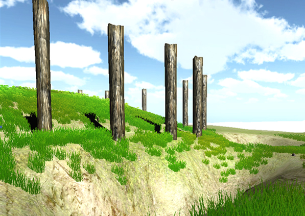
Gaffney is the leader of the North Sea Palaeolandscapes Project. The project, using existing 3D seismic data, seeks to study the land at the bottom of the North Sea. Once a dry, vast plain populated by hunter-gatherers, the entire area became flooded due to rising sea levels and was completely underwater by 5,500 BC. The North Sea Palaeolandscapes Project has discovered that what is now at the bottom of the North Sea is one of the best-preserved prehistoric landscapes in Europe.
Gaffney will speak on the historical impact of their discoveries and how global warming played a role in the flooding of this once-dry land.
In addition to his work under water, Gaffney has been uncovering hidden history on land. Stonehenge may well be the world's most iconic prehistoric monument and has been the subject of archaeological and antiquarian research for several hundred years. While recent studies have provided an unparalleled digital and archaeological database for the site and its immediate environs, much of the Stonehenge landscape remains, effectively, "terra incognita." The historic research emphasis on the monuments has rarely permitted a rigorous analysis of the wider landscape in relation to the emerging complexity of the archaeological structures.
In recent years, Gaffney and teams from the University of Birmingham in England and the Ludwig Boltzmann Institute for Archaeological Remote Sensing have undertaken extensive geophysical survey covering nearly seven square kilometers of the world heritage landscape of Stonehenge. This research has provided a wealth of new information and also revealed significant monuments within areas that, previously, were blanks on the archaeological map.
Gaffney's Tuesday lecture presents this new data and considers how such research will lead to a reassessment of this famous monument and its wider landscape.
The Stonehenge presentation is part of the Stigler Lecture Series and is sponsored by the department of anthropology, department of geosciences and the environmental dynamics program.
Contacts
JoAnn Kvamme,
Environmental Dynamics
479-575-6603,