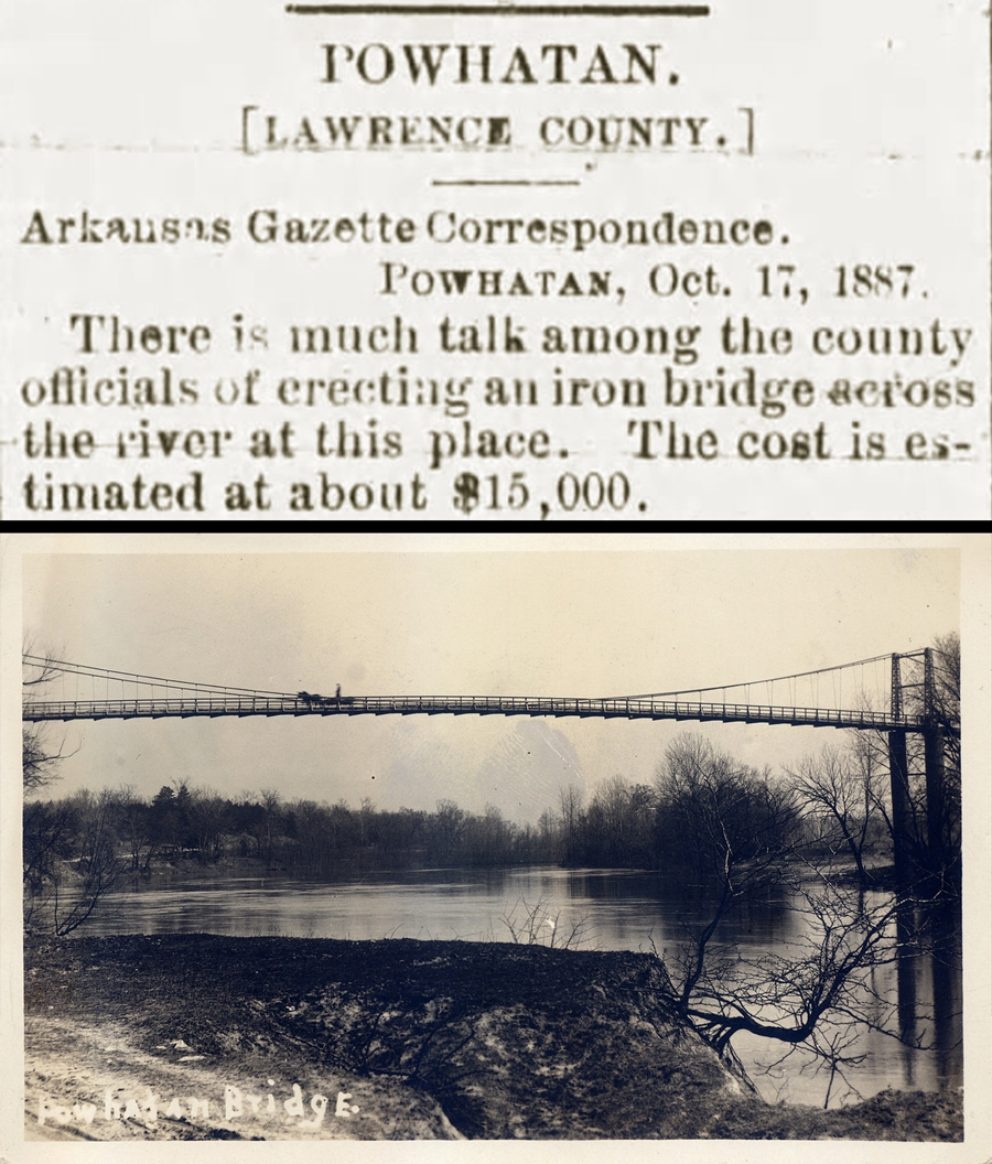
The Center for Advanced Spatial Technologies (CAST), in collaboration with Arkansas State Parks, has recently published the Historic Powhatan digital mapping project, a website that combines modern mapping technology with history.
The site, powhatan.cast.uark.edu, features maps, historical photos, biographies and newspaper articles in an interactive interface that allows the user to explore the history of Powhatan.
Powhatan was a once bustling 19th-century river community at the heart of commerce and activity in Lawrence County. Today, it is preserved as part of the Arkansas State Park system and includes six original structures including a stately, two-story courthouse built in 1888 that still overlooks the Black River.
"Our collaboration with CAST allows visitors to immerse themselves in the history of Powhatan online and gives them another way to connect with the history of the park," said Grady Spann, Arkansas State Parks director.
The project began out of the need to centralize information and materials gathered from years of research by Powhatan staff.
"We have thousands of documents, photographs and stories from a variety of sources in our archives. Finding the needed information when creating new programs or exhibits for the park became very convoluted. This project not only streamlined access, but created the opportunity for the public to explore it as well," said Kristyn Watts, park superintendent.
The new system allows all of this information including historic documents, photos, building and lot information, and individual biographies to be combined into a single repository and perhaps most importantly, allows connections to exist between those items.
"The historical record is a complex web of interactivity between historical sources, spatial locations and people. This online system is an attempt to preserve some of that connectivity," said Angie Payne, project lead at CAST.
"Users can select a photo and see the names of people or buildings in the photo if that information is known. They can then select a person and see all of the photos tied to that person, or newspaper articles that mention that person, or all of the land that has been owned by that person throughout time. There are numerous routes for exploration and discovery."
"The historical record is by its very nature is incomplete. But the site is designed so that researchers can continue to add information as it becomes available," said Manon Wilson, lead project historian at CAST.
Along with the public website, an editing interface was created that allows park staff and appointed researchers to update and add new information.
"Park staff can now update a person's biography and add a picture of them. They can digitize the location of a building that needs to be added to the map. A newspaper article can be uploaded. It is designed to handle different types of data and documents," Wilson said.
The Powhatan spatial management system was modeled after similar systems that have been developed for part of downtown historic Little Rock and Historic Washington State Park. The project was funded by the Arkansas Natural and Cultural Resources Council (ANCRC), which funds projects that protect and maintain the state's natural, cultural and historical resources.
Topics
Contacts
Angie Payne , senior research assistant
Center for Advanced Spatial Technologies
479-575-6159, amp1@uark.edu