GIS Day will be from 11 a.m. to 2 p.m. Wednesday, Nov. 18, on the second floor of the J.B. Hunt Transport Services Center for Academic Excellence in the EAST Initiative Suite, JBHT 263, 264 and 265. GIS Day is an annual, internationally recognized event promoting geographic information system technology and its applications.
U of A's GIS Day will feature presentations by faculty, guest speakers, and graduate students. The topics will include data visualization, historical mapping, geologic mapping as well as applications of GIS to hydrology, ecology, and natural hazards control.
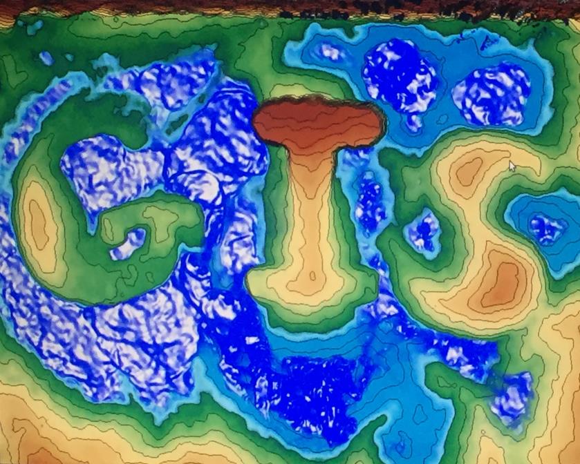
GIS Day will also feature demonstrations of GIS technology, including CAST's augmented reality sandbox. The sandbox allows users to physically create topography models which are then scanned into a computer.
Visitors to GIS Day will have the opportunity to play with the sandbox and to take part in the Sandbox Sculpt Contest by creating their own interactive artistic landscapes. Post entries to Instagram or Twitter with the hashtags #sandsculpture and #UARKgis. Tag us @UARKLibraries for the chance to receive a prize!
The event is sponsored by the University of Arkansas Bookstore and SAGE Publications and hosted by the University Libraries and the Center for Advanced Spatial Technologies (CAST). The event is free and open to the public. Light refreshments will be served.
#GISDay Program of Presentations
- 11-11:20 a.m.
Data Visualization: Organizing the Map
Winifred E. Newman, Department of Architecture, University of Arkansas - 11:20-11:50 a.m.
Historic Fayetteville Story Map
Mike Morisette, the city of Fayetteville - 11:50 a.m. to 12:10 p.m.
STATEMAP Program – The Development and Use of a Multi-Page Geodatabase for Field Data Collection, Symbology, Editing and Archival
Ty Johnson, Arkansas Geological Survey - 12:10-12:30 p.m.
Using Public Datasets and Geospatial Analyses to Investigate Tectonic Controls on Spring Discharge Locations along the Southern Ozark Dome, Northern Arkansas, USA
Joshua M. Blackstock, Department of Geosciences, University of Arkansas - 12:30-12:50 p.m.
Stream Ecosystem Function and Physicochemical Characteristics in Two Northern Arkansas Flow Regimes
Allyn Dodd, Department of Biological Sciences, University of Arkansas - 12:50-1:10 p.m.
Using GIS to Estimate Regional Carbon Budgets
Kusum Naithani, Department of Biological Sciences, University of Arkansas - 1:10-1:30 p.m.
Application of GIS and Other Technology to Fighting Wildland Fires
Tina Rotenbury, U.S. Forest Service - 1:30-1:50 p.m.
Application of GIS in Hazard and Risk Mapping in Mountainous Communities of Northeast Afghanistan
Ikramuddin Bahram, Department of Geosciences, University of Arkansas
Contacts
Jozef Laincz, geosciences and maps librarian
University Libraries
479-575-2241, jlaincz@uark.edu
Kalli Vimr, public relations coordinator
University Libraries
479-575-7311, vimr@uark.edu